













Save time. Avoid costly surprises. Decide with evidence.

Review registered sales, planning, and risk evidence in one place, with sources and gaps visible.

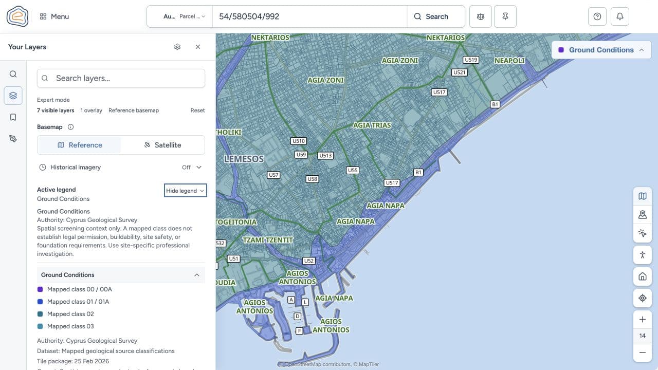
Emvadon Ground Conditions screening with Cyprus Geological Survey authority, mapped classes, and the professional-investigation caveat visible
Real Emvadon workspace.

Know the land. Understand the rules. See the value.

Three evidence layers. One connected parcel view. Sources visible at every step.

Review source coverage

Records & maps

  • Department of Lands and Surveys
  • OpenStreetMap

Planning

  • Department of Town Planning and Housing
  • Cyprus Geological Survey Department

Market & indicators

  • Cyprus Auctions
  • REMU
  • Central Bank of Cyprus
topos
nomos
axia

See how evidence is produced

Review the parcel from every important angle.

Move from parcel facts to planning, legal and value context, and the evidence behind each answer—without losing the subject.

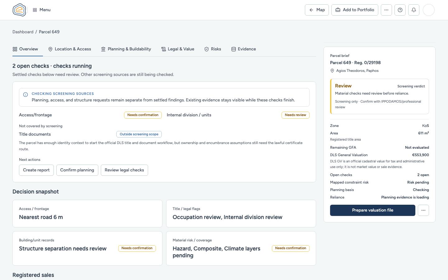
See the parcel’s decision-ready starting point.

Bring parcel identity, registration, area, planning basis, official DLS value, and open checks into one review.

  • Start with registered parcel facts and a compact decision snapshot.
  • See what is settled, what is still checking, and what needs confirmation.
See the parcel workflow
Emvadon Parcel 649 overview with parcel facts, open checks, decision snapshot, and next actions
Real Emvadon product capture · Parcel 649 · Overview